An ever-present feature of the Earth’s surface, orogenic systems or mountain belts provide a record of the dynamic processes which have shaped the planet over the last 4.5 billion years. Understanding orogenic systems provides insights into the feedbacks among the relative contributions of plate-tectonic, petrology, and climatic processes which have shaped the Earth through geological time. To address this relationship, I investigate how and, crucially, when major structures bring rocks to the surface and form mountain belts. Here I use thermochronology, which records the time at which a rock cools through a specific temperature window corresponding to a certain depth in the Earth’s crust. Rock cooling is facilitated by the removal of overlying material via structural or erosional processes.
The website is very much a work-in-progress as I improve capacity...
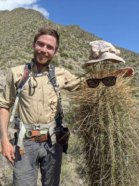
Here are some of the current projects that I have active as part of my research program. Currenly I am looking for a PhD student to work on an National Sciences Foundation (NSF) funded project focusing on the onset and magnitude of rifting along Lake Tanganyika, East African Rift. See "East African Rift" for a brief explaination of the project.
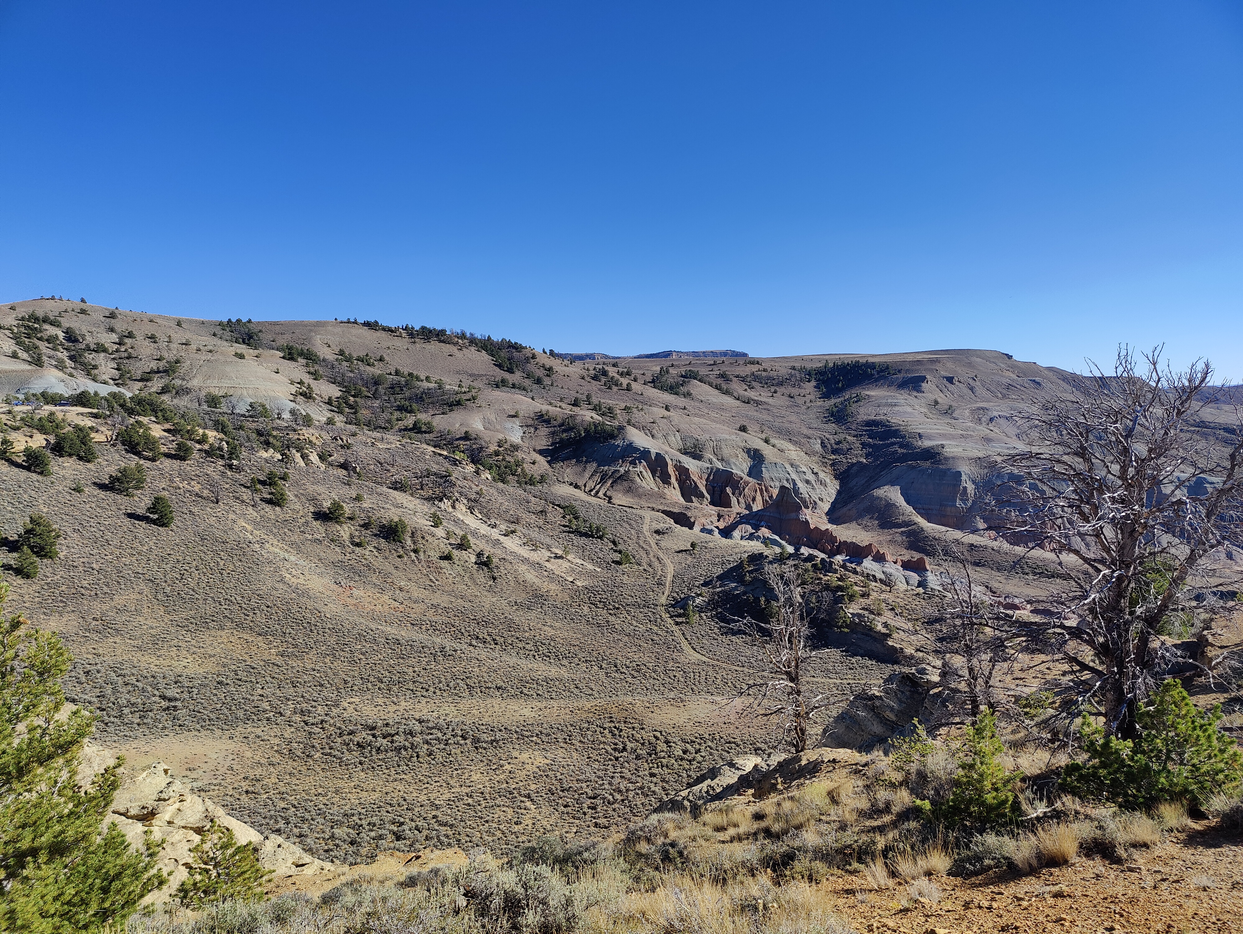
Changing erosion rates over the Pal[a]eocene-Eocene Thermal Maximum (PETM): The global climate is rapidly warming as a function of elevated green-house gas emissions. Earth’s climate has fluctuated between periods of warming and cooling across it’s ~4.5-billion-year history. One prominent period of past global warming that is similar to what we are observing today is the Paleocene-Eocene Thermal Maximum (PETM, ~56 million years ago) – where Earth’s climate warmed, and then cooled rapidly over a ~200,000 year interval. The PETM is an excellent archive of how the Earth-system can reduce excess CO2 from the atmosphere through feedbacks with the landscape. The most prominent Earth-system way to remove atmospheric CO2 is through CO2-enriched rain causing weathering and erosion of Mg and Ca bearing rocks, which form CaCO3 and can be stored in sedimentary rocks. However, our understanding of how efficient this process is to remove CO2 is limited by how difficult it is to assess erosion across these specific paleoclimate excursions. This project (funded by NSF) applies thermochronology to a PETM archive in the Tremp-Graus basin, Spain and the Bighorn basin, Wyoming in order to quantify shifts in erosion.
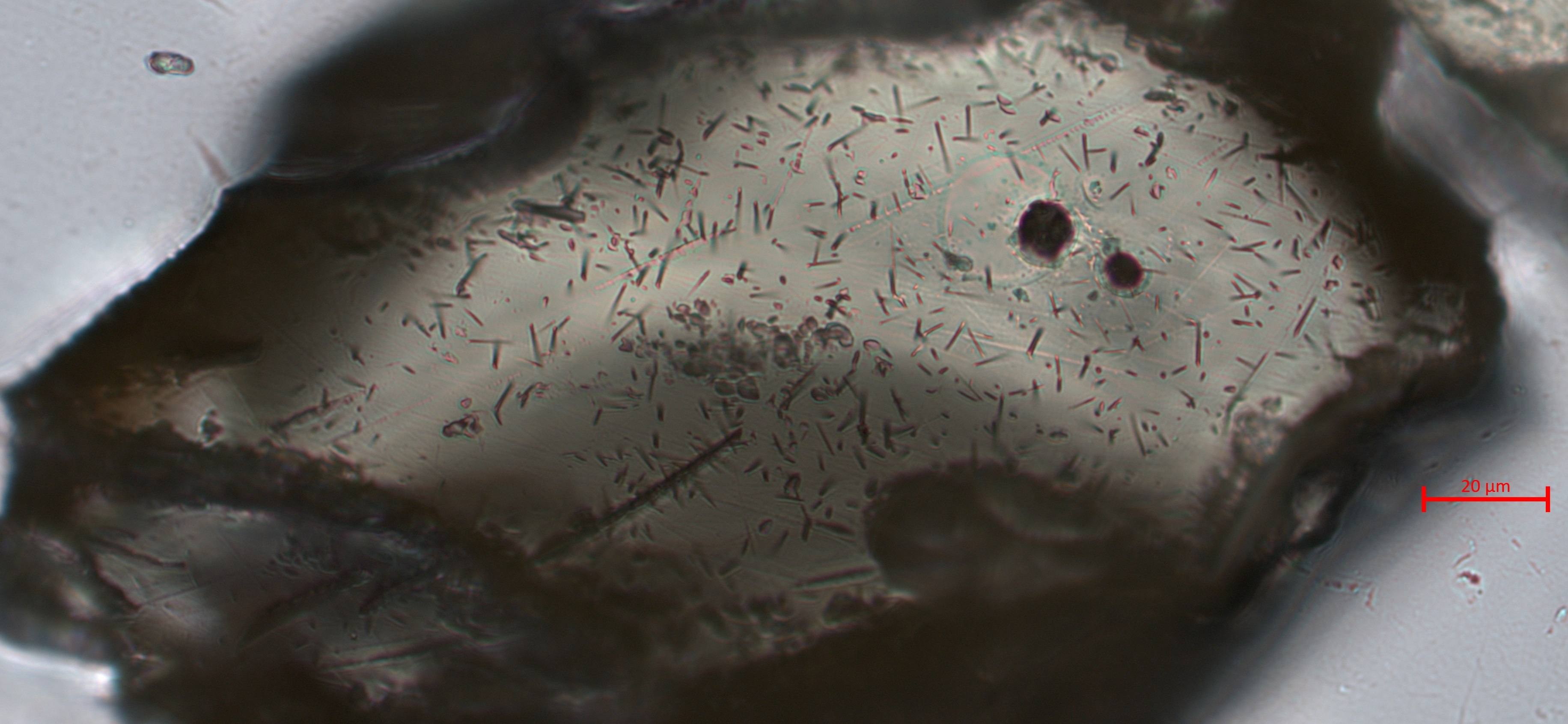
Fission-track thermochronology has been a fundamental tenant of radiometric dating since the 1960s. Based on temperature dependent annealing of spontaneous fission in 238U baring accessory mineral, fission-track provides cooling ages and rates from <400 °C down to >25 °C.
APATITE FISSION-TRACK: The temperature sensitivity of apatite fission-track thermochronology is a bulk estimate averaged over multiple grains. Apatite major element geochemistry (i.e. Cl) is understood to exert a major control on annealing. The influence of apatite trace element geochemistry (e.g. Sr, Mn, and rare earth element [REE]), however, remains under-explored. Thus, the true thermal history of an AFT age may be poorly constrained. Here, in a project funded by the American Chemical Society we undertake major and trace element characterisation of single-grain AFT ages from thermally well-constrained sedimentary borehole samples from the Anadarko Basin, Oklahoma to constrain the role of geochemistry on apatite annelaing.
MONAZITE FISSION-TRACK: Monazite fission-track (MFT) presents itself as a novel thermochronometer which will bridge the gap between existing low-temperature thermochronometers and cosmogenic nuclides. Recent laboratory studies into the annealing of fission-tracks in monazite have estimated the partial annealing zone to ≤46–25 °C making it among the lowest-temperature thermochronometers currently available. I am applying monazite fission-track to the Catalina-Rincon metamorphic core complex, Arizona, and the central Himalaya, Nepal to assess it's viability as a low-temperature thermochronometer.
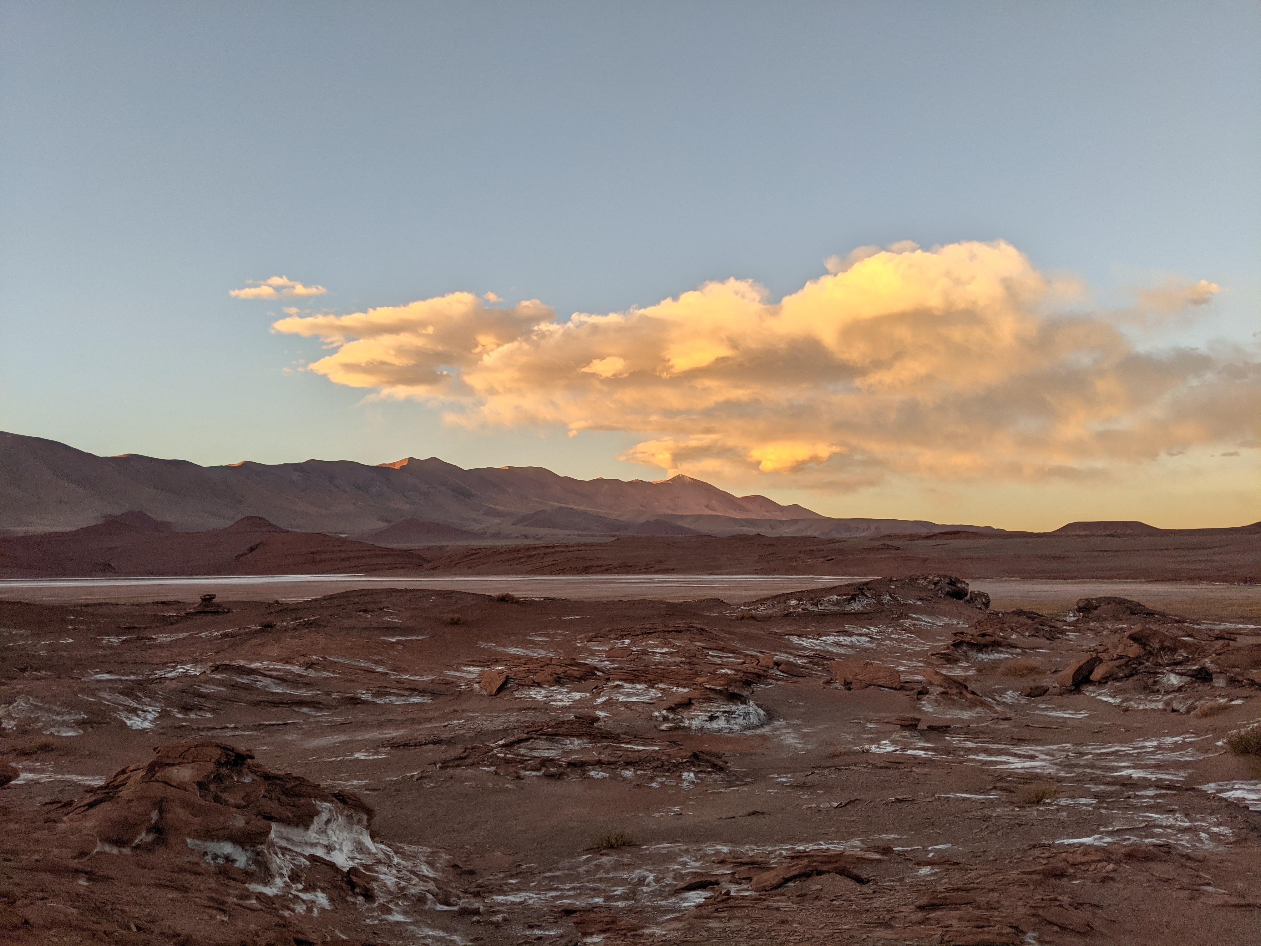
EAST AFRICAN RIFT (Lead PI-Mike Soreghan): Lake Tanganyika is the largest lake within the East African Rift, but the age of the lake and the timing of uplift of the adjacent mountains are debated. This debate, in turn, impedes understanding of the timing of rift evolution, rates of erosion and sedimentation, and the pulse of speciation and diversification of the organisms living in the lake and watersheds. The project’s goal (funded by the NSF) is to constrain the timing of rift initiation and fault magnitude along the Lake Tanganyika portion of the rift to understand how rifts grow, the timing of lake formation and variation in erosion and sedimentation rates.
CANADIAN CORDILLERA (Lead PI-Sarah George): Sedimentary basins adjacent to convergent margin mountain belts host important economic resources and contain key records of past climatic and tectonic events. As such, basin archives are often used to reconstruct long-term variability in mountain building and climatic processes. New quantitative approaches provide direct links between signals of erosion in mountain belts and depositional processes preserved in basins, which can improve understanding of how to interpret these critical sedimentary archives. This project (funded by NSF) applies novel methodologies to the Alberta basin, next to the Canadian Rocky Mountains, which provides an excellent testing ground due to abundant subsurface datasets and constraints on the geometries of deformation within the mountain belt.

Just some select papers from my previous work to illustrate background in various topics.
Here is a likely out-of-date version of my CV if you would like to know specific details.